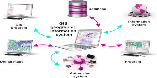
Geographic Information System (GIS): A geographic information system, or GIS, is a computerized data management system used to capture, store, manage, retrieve, analyze, and present all types of spatial or geographical data. A Geographic Information System or GIS is a computer system that allows you to map, model, query, and analyze large quantities of data within a single database according to their location. GIS gives you the power to:
- create maps,
- integrate information,
- visualize scenarios,
- present powerful ideas, and
- develop effective solutions.
GIS is more than just software. People and methods are combined with geospatial software and tools, to enable spatial analysis, manage large datasets, and display information in a map/graphical form. So it is a computer system capable of capturing, storing, analyzing, and displaying geographically referenced information; that is, data identified according to location.
GIS is a tool used by individuals and organizations, schools, governments, and businesses seeking innovative ways to solve their problems. Most of the time GIS is used to create maps and to print.


