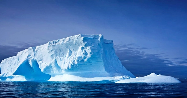
In a new endeavor to map the enormous sea bottom encircling Antarctica, the deepest point of the Southern Ocean — a 7,432-meter (24,383-foot) deep trench known as the Factorian Deep – has been meticulously documented. In a research published earlier this month in the journal Scientific Data, an international team of scientists disclosed their attempts to map the freezing depths of the Southern Ocean seabed. The end result is the most comprehensive map of this part of the planet to date, with a total area of 48 million kilometers squared (18.5 million miles squared), approximately five times the size of Canada.
The project’s website, www.ibcso.org, offers a free high-resolution map of the Southern Ocean. It not only displays the ocean’s various mountains, hills, and troughs in never-before-seen detail, but it also reveals the new deepest point in the Southern Ocean, the Factorian Deep, which is situated in the South Sandwich Trench.
Interestingly, explorer Victor Vescovo visited the Factorian Deep in 2019 as part of his Five Deeps Expedition, which saw him become the first person to reach the bottom of the Southern Ocean. Satellite photography of the Southern Ocean has been available for some time, but it lacks some of the finer features that ship-based methods of mapping the bottom pick up.
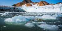
The researchers used data from multibeam echosounder readings acquired in the Southern Ocean by a variety of research vessels, including the icebreaker Polarstern and the old British Antarctic Survey ship RRS James Clark Ross, for this newest effort. RRS Sir David Attenborough, the research vessel that famously follows the Boaty McBoatface submarine, will also collect data in the future. Better maps of the Southern Ocean have the potential to improve our knowledge of this critical part of the globe. The seas around Antarctica are home to a diverse range of wildlife and can give crucial information about our planet’s geological history and environment. We can learn more about this fascinating world if researchers can traverse it better.
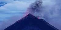
“A map is necessary for direction no matter where you travel or work. Dr. Boris Dorschel-Herr, main study author and Head of Bathymetry at the Alfred Wegener Institute, Helmholtz Centre for Polar and Marine Research, stated in a statement that “nearly all oceanographic disciplines rely on comprehensive maps of the ocean floor.” “The topography of the Southern Ocean’s bottom, for example, is critical to understanding a variety of climate-relevant processes.” Warm water masses pour into deep troughs in the continental shelf, causing the melting of Antarctic ice shelves and glaciers.
The stability and calving behavior of glaciers and ice sheets, on the other hand, are highly dependent on the characteristics of the ground underneath them. “We have given the greatest and most comprehensive picture of the Southern Ocean to date with the IBCSO v2,” Dorschel-Herr remarked.