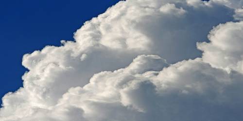
Cumulus Cloud: Large clouds with relatively flat bases. These are found in an altitude range from 300 – 2,000 m. They are low-level clouds, usually less than 2,000 m (6,600 ft) in altitude except they are the more perpendicular cumulus congestus form. They may come into view by themselves, in lines, or in clusters. The top of the cloud has rounded towers. When the top of the cumulus resembles the head of a cauliflower, it is called cumulus congestus or towering cumulus. These clouds grow upward, and they can grow into a huge cumulonimbus, which is a thunderstorm cloud.
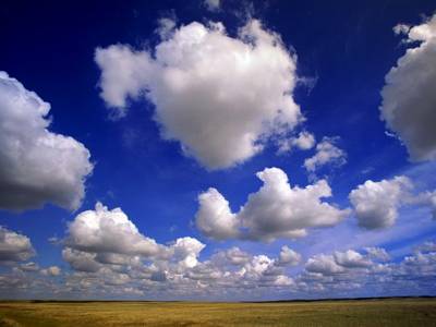
It comes into view as a huge, dense, and plainly shaped white cloud. It has boundaries that you can observe and is naturally an individual, separate cloud. The form looks flat on the bottom and rounded on the top, and the sky in between the clouds is usually blue. These clouds develop upward as the humid air carries humidity higher into the cloud. As such, a cumulus cloud indicates that humid air is moving upward in the atmosphere, a procedure called an uplift or thermal uplift. Cumulus clouds are lower in the atmosphere, about 1,000 feet from the ground. Low-level clouds under 6,000 feet are fair-weather cumulus clouds and indicate that the weather will be calm and without rainfall.